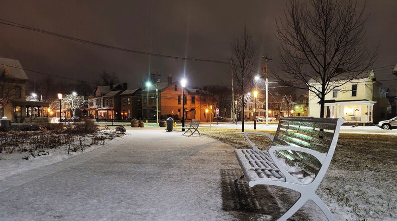
Temperatures for Thursday are projected to be in the low- to mid-30s with morning temperatures starting in the 20s and nighttime lows dropping to the teens.
It is too early to put hard numbers or timing on this potential storm. However, it’s WCPO’s weather center policy to give the absolute “First Warning”, so people may be aware of anything that could affect their day.
In meteorology, one small variable can send these models very easily down an incorrect path. However, the two main computer forecasts are both indicating possible snow, so it’s worth considering.
Here’s the thing about long-range models and using the data publicly: The data is excellent to give meteorologists an early look at what “might” happen and we mix in other factors and put context into our forecast. Long-range models are hardly a certainty, like in this case.
WCPO will post updates to this early forecast here.
WCPO is a content partner of the Journal-News.
About the Author
